Service 01
Drone Surveying
Engineering-focused aerial surveys for construction, mining, infrastructure and land development.
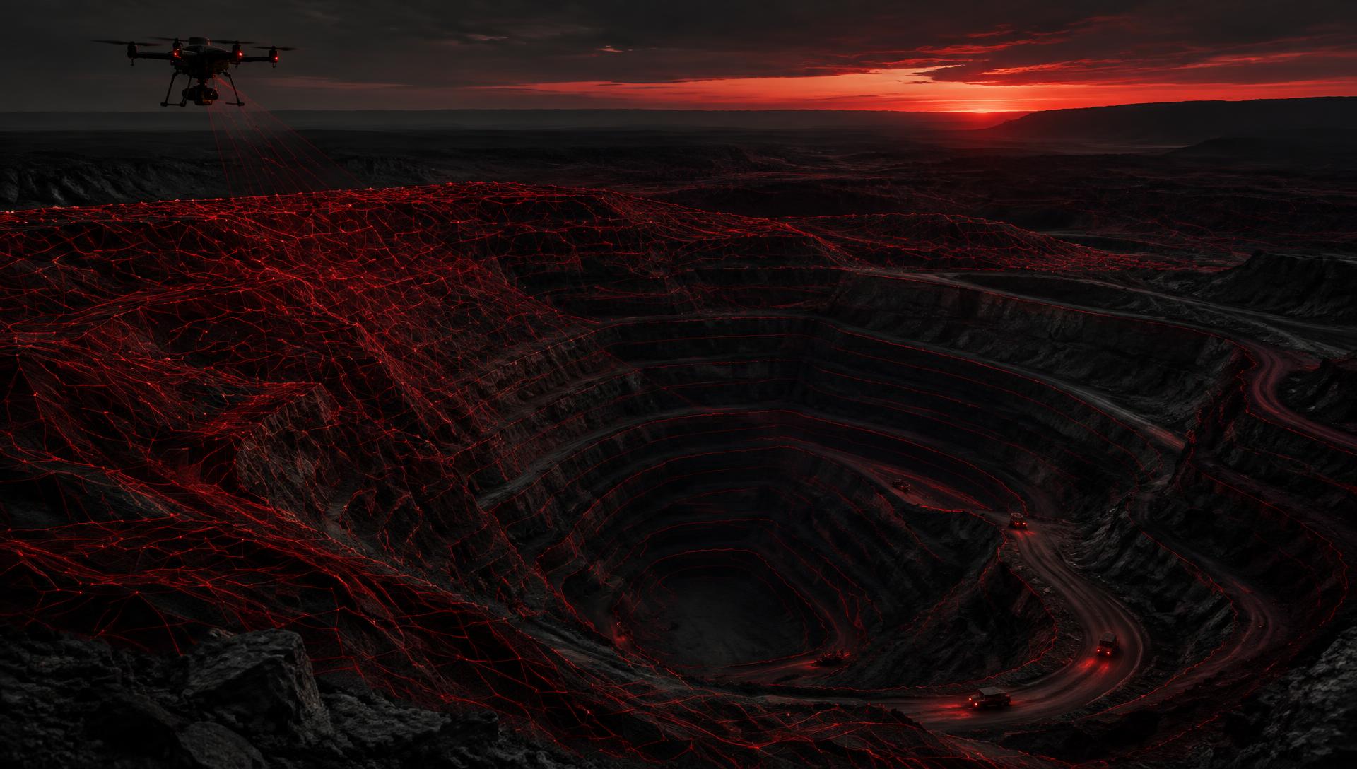
Drone Geospatial & Surveying Technology
Advanced drone surveying and geospatial intelligence for the real world.
We transform aerial data into accurate surveys, detailed 3D models, LiDAR datasets and actionable intelligence for construction, mining, infrastructure and engineering.
Drone Surveying · Photogrammetry · LiDAR · 3D Geospatial Data
DiscoverWhat we do
Drone Empire uses advanced UAV technology, photogrammetry, LiDAR and geospatial processing to capture high-quality aerial data and convert it into information that professionals can use.
We do not simply collect drone imagery. We produce professional geospatial datasets and visualisations that help clients measure, analyse, monitor and make informed decisions.
Our geospatial approachHigh-Accuracy Aerial Data
3D Geospatial Modelling
Survey-Ready Deliverables
Safety-Focused Operations
Capabilities
A connected workflow from disciplined field capture to professional spatial outputs.
Engineering-focused aerial surveys for construction, mining, infrastructure and land development.
High-resolution imagery transformed into accurate, measurable geospatial datasets.
Laser-based 3D capture for detailed terrain, vegetation and complex environments.
Detailed digital representations of physical sites, assets and built environments.
Industries
Spatial intelligence for environments where decisions depend on seeing, measuring and understanding physical change.
Sector 01
Accurate aerial data for terrain, stockpiles, infrastructure and operational planning.
Sector 02
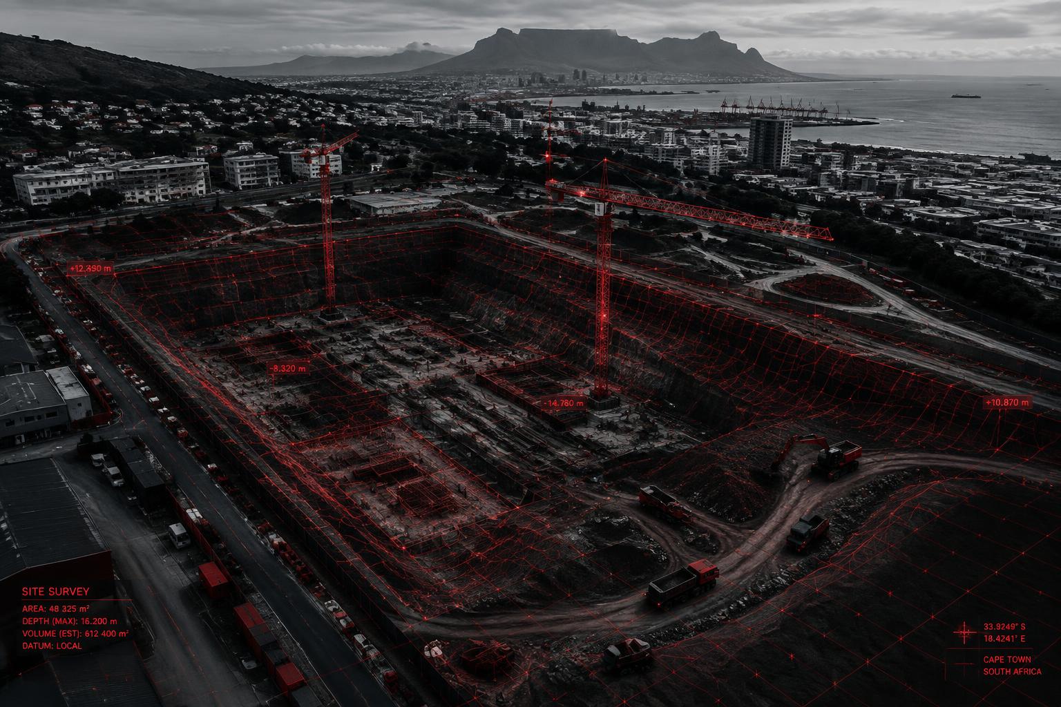
Monitor progress, earthworks, site conditions and safety from above.
Sector 03
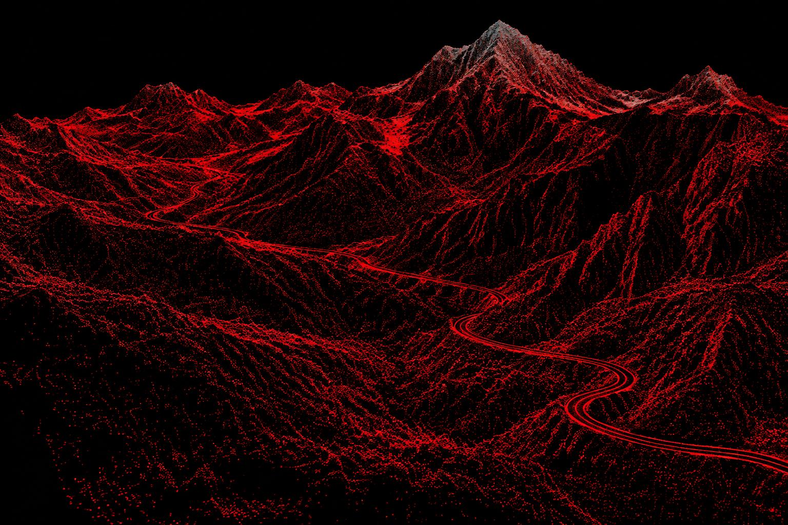
Detailed spatial data for infrastructure and engineering projects.
Sector 04
High-resolution aerial datasets supporting professional surveying workflows.
Sector 05
Inspect and map large-scale assets and corridors efficiently.
Sector 06
Capture detailed terrain and environmental datasets for analysis and monitoring.
Workflow
Define requirements, site conditions and deliverables.
Conduct professionally planned UAV data acquisition.
Transform imagery, LiDAR and positioning data.
Extract measurements, terrain and actionable insights.
Provide maps, models, reports and spatial datasets.
Technology
Sensor-appropriate capture, precise positioning and specialised processing workflows turn complex sites into reliable digital information.
Professional outputs
Orthomosaic
DEM
DSM
DTM
Point Cloud
3D Mesh
3D Model
Contours
CAD/GIS Data
Volume Calculations
Survey Reports
Progress Reports
Safety Reports
Project enquiry
Whether you need a topographic survey, LiDAR dataset, 3D model, point cloud, terrain model or intelligent site monitoring solution, let’s discuss your project.