Precision
A disciplined acquisition and processing approach shaped around the required output.
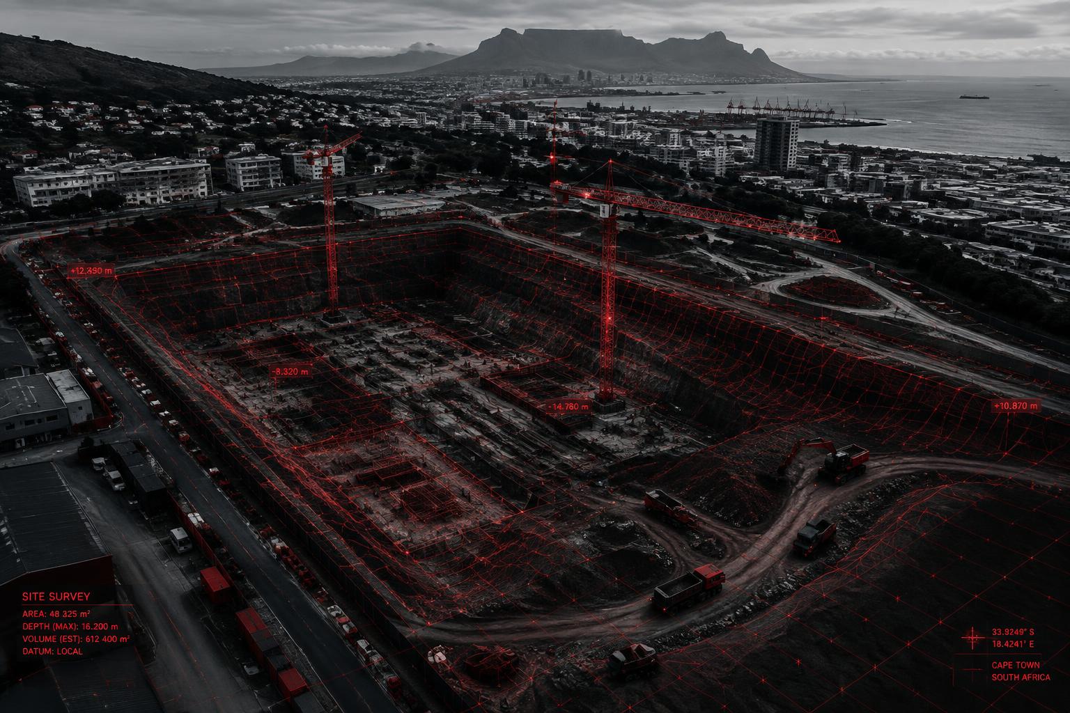
About Drone Empire
The value is in the entire workflow: capture, process, analyse and deliver.
Our purpose
Drone Empire is positioned to support South African construction, mining, engineering, infrastructure and surveying teams with accurate aerial data and clear spatial outputs.
Our focus is not cinematic drone content. It is professional UAV operations, geospatial expertise, advanced photogrammetry, LiDAR capability, 3D modelling and client-specific deliverables that support better decisions.
A disciplined acquisition and processing approach shaped around the required output.
Deliverables designed to enter professional surveying, engineering, CAD and GIS workflows.
Planned operations that respect site controls, people and the responsibilities of project teams.
The difference
From mission planning to final datasets, each stage exists to serve the intended professional use.
Project enquiry
Whether you need a topographic survey, LiDAR dataset, 3D model, point cloud, terrain model or intelligent site monitoring solution, let’s discuss your project.