UAV Platform
Professional aerial platforms designed for precision data acquisition.
Technology
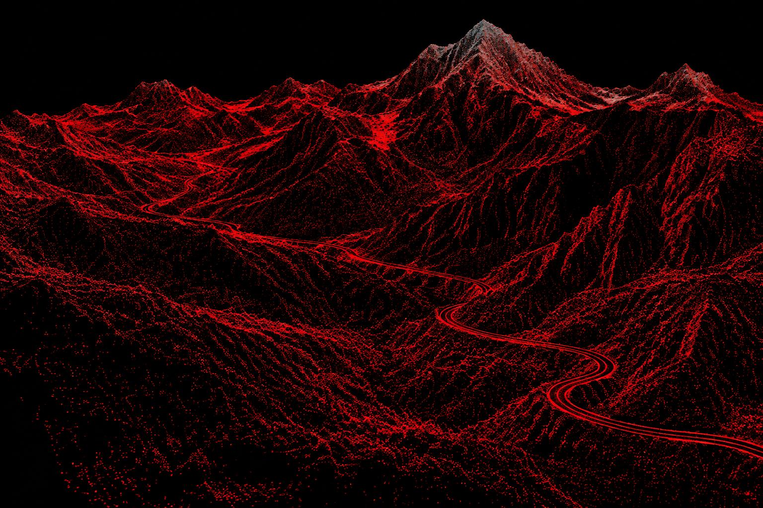
Professional platforms, fit-for-purpose sensors, precise positioning and specialised processing—all selected around the site and required output.
Data pipeline
Every stage protects data quality and moves raw observations toward practical client intelligence.
Drone
Data Capture
Point Cloud
3D Model
Digital Twin
Client Dashboard
Professional aerial platforms designed for precision data acquisition.
High-resolution imagery for photogrammetric reconstruction and mapping.
Laser-based 3D scanning for detailed terrain and infrastructure data.
High-precision positioning technology for accurate aerial mapping.
Advanced workflows that transform raw aerial data into professional geospatial products.
Intelligent analysis for monitoring, detection and site intelligence.
Project enquiry
Whether you need a topographic survey, LiDAR dataset, 3D model, point cloud, terrain model or intelligent site monitoring solution, let’s discuss your project.