Industry 01
Mining
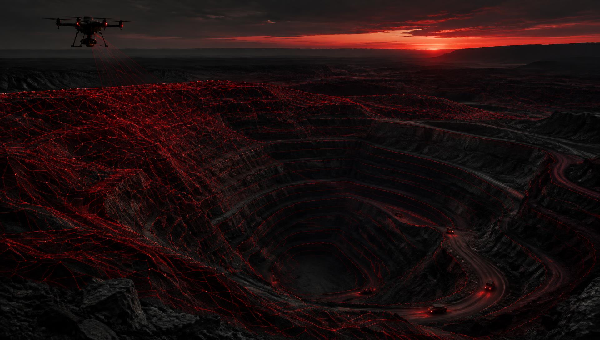
Accurate aerial data for terrain, stockpiles, infrastructure and operational planning.
Industries
Drone Empire supports project teams that need a reliable, measurable view of terrain, infrastructure, assets and change.
Accurate aerial data for terrain, stockpiles, infrastructure and operational planning.
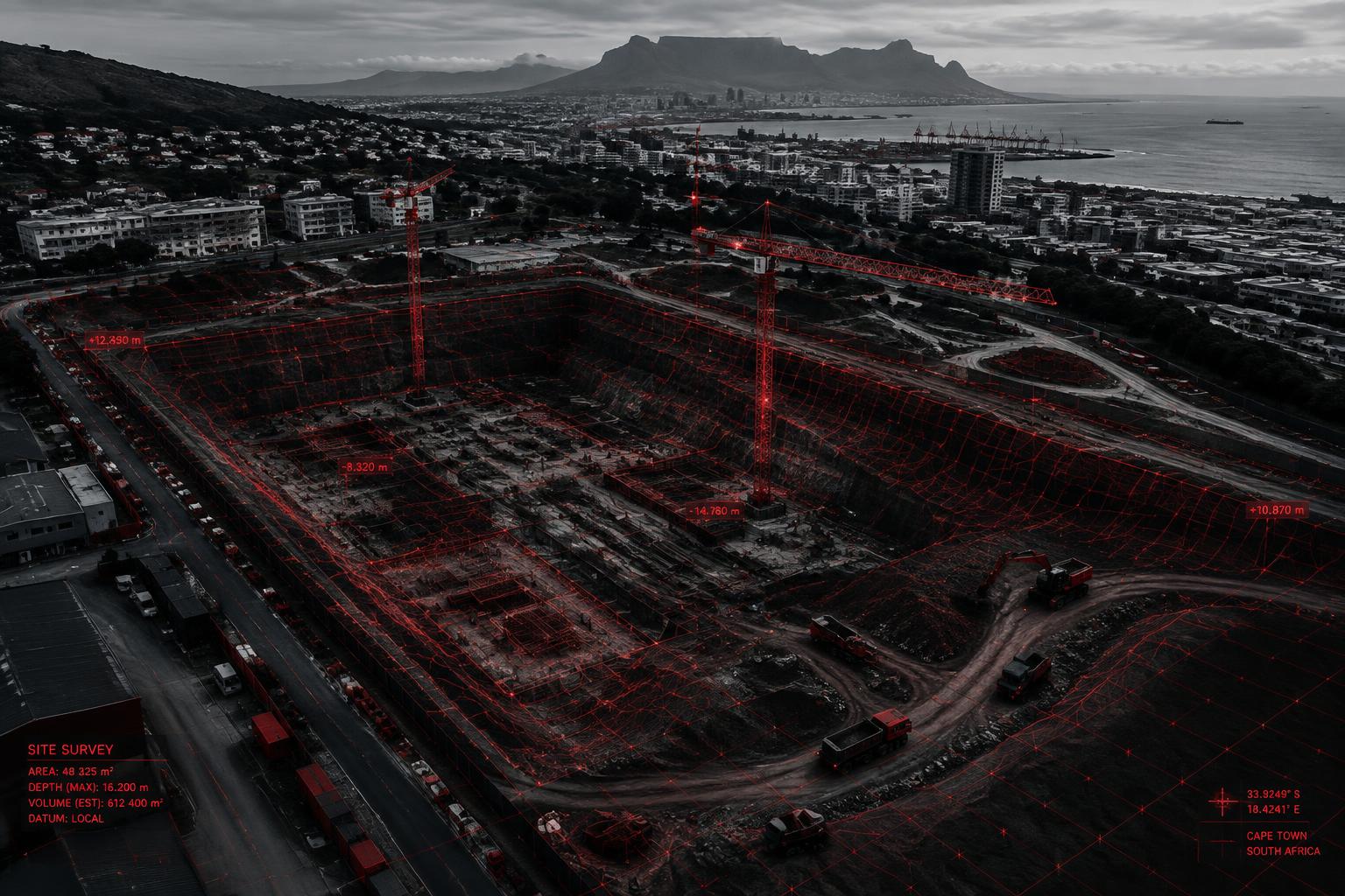
Monitor progress, earthworks, site conditions and safety from above.
Detailed spatial data for infrastructure and engineering projects.
High-resolution aerial datasets supporting professional surveying workflows.
Inspect and map large-scale assets and corridors efficiently.
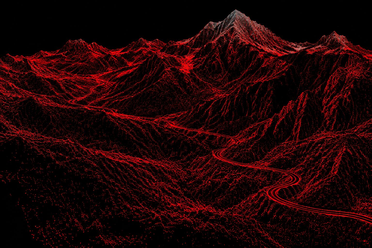
Capture detailed terrain and environmental datasets for analysis and monitoring.
Turn physical sites into measurable digital environments.
Project enquiry
Whether you need a topographic survey, LiDAR dataset, 3D model, point cloud, terrain model or intelligent site monitoring solution, let’s discuss your project.